Installation tips and download PC-KARTE
Download the latest version of PCKARTE from this server to create map plots like the plots shown below. Sorry because of the huge datafiles included in this archive the file to download is about 25 MB large and you will need about 46 MB on your HD after installation.
To install the program PCKARTE follow the steps below:
- 1. Download the program PCKARTE for DOS here.
- 2. Create a folder for the program,
- 3. Copy the downloaded archive into this folder.
- 4. Run unzip to extract the archive (unzip pckarte.zip).
- 5. After all files are extracted you can delete the archive.
- 6. Run the program karte.exe from the DOS prompt (sorry only German version avaible).
- 7. UNINSTALL: Easy, without leaving garbage on your HD: delete all files in your KARTE folder.
A few examples of map-plots done by PCKARTE, the first 3 pictures without any further manipulations. Many paint programs like CORREL and MS-PAINT etc. are able to import the postscript or HPGL-outputfiles for further manipulations. The last picture shown on this page is a plot of the Arabian Sea with the topography and the name of the stations with a few changes by a standard plot program.
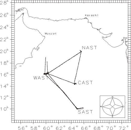 Track of cruise SONNE 118 in the Arabian Sea.
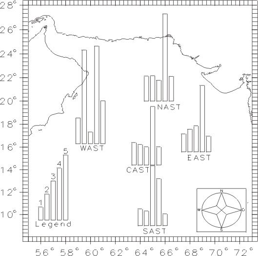 Bar chart of measured concentrations in the Arabian Sea.
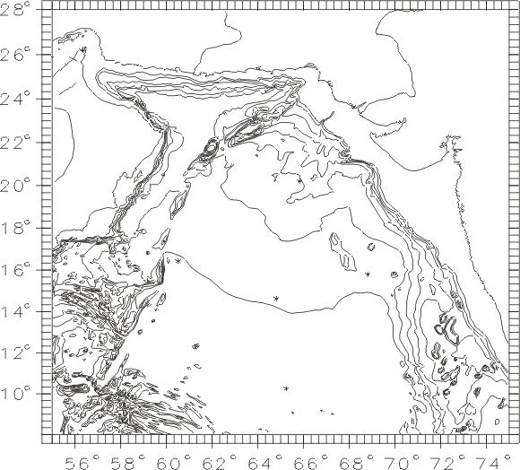 Topography of the Arabian Sea.
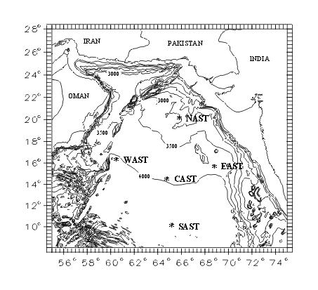 Topography of the Arabian Sea and stations names for publication in my last article.
 The world with topography.
This page has been accessed since April 1999:  times.